No products in the cart.
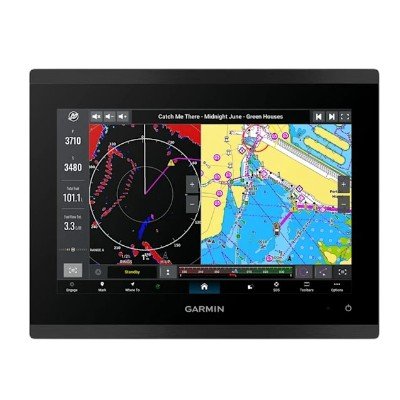
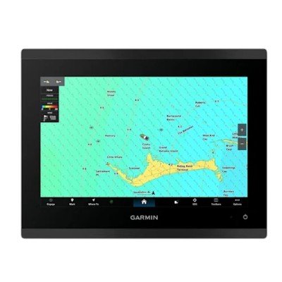
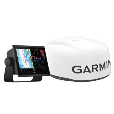
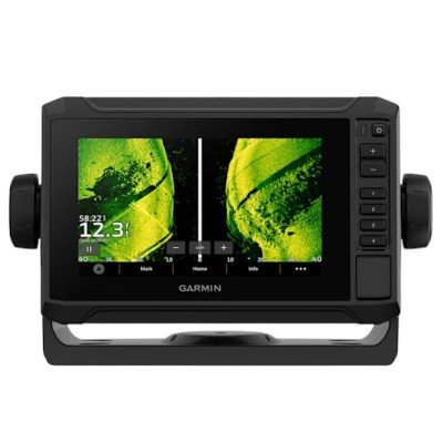
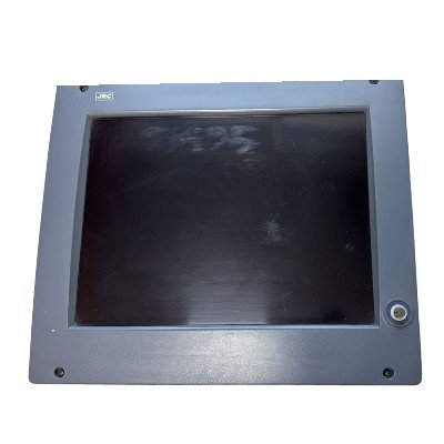
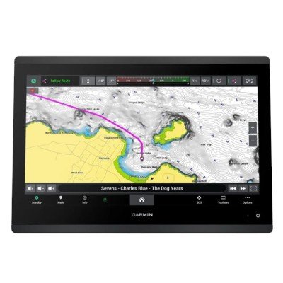
The GPSMAP 9010 is a premium, high-performance multifunction display (MFD) designed for advanced marine integration. It belongs to the 9000 series, which focuses on high-speed processing and superior resolution for larger vessels.
General |
|
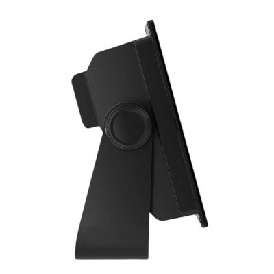
| Dimension | 10.24″ x 7.87″ x 3.54″ (26 cm x 20 cm x 9.1 cm) |
|---|---|
| Weight | 5.55 lbs (2.52 kg) |
| Water rating | IPX7 |
| Touchscreen | |
| Display Type | WUXGA, IPS; Edge Lit backlight |
| Display Size | 8.54″ x 5.34″ x 10.1″ diagonal (21.7 cm x 13.6 cm x 25.6 cm diagonal) |
| Display resolution | 1920 x 1200 pixels |
| Mounting Options | Bail, flat or flush |
| Input | Touchscreen |
Maps & Memory |
|
| Accepts Data Cards | 2 microSD™ cards (on rear of product) |
|---|---|
| Waypoints | 5,000 |
| Track points | 50,000 |
| Tracks | 50 saved tracks |
| Navigation Routes | 100 |
Sensors |
|
| GPS | ✓ |
|---|---|
| GLONASS | ✓ |
| Galileo | ✓ |
| BeiDou | ✓ |
| Has built-in receiver | ✓ |
| Receiver | 10 Hz |
| NMEA 2000 Compatible | ✓ |
| NMEA 0183 Compatible | ✓ |
| Supports WAAS | ✓ |
| Supports multi-band, multi-constellation GPS | ✓ |
Optional Map Support |
|
| BlueChart g3 | ✓ |
|---|---|
| BlueChart g3 Vision | ✓ |
| LakeVü g3 | ✓ |
| LakeVü g3 Ultra | ✓ |
| Garmin Navionics+™ | ✓ |
| Garmin Navionics Vision+™ | ✓ |
| TOPO 100K | ✓ |
| Standard Mapping | ✓ |
| Garmin Quickdraw Contours | ✓ |
| Raster chart support | ✓ |
Electrical Features |
|
| Power Input | 10 to 32 Vdc |
|---|---|
| Typical current draw at 12 Vdc | 2.43 A |
| Maximum current draw at 12 Vdc | 2.8 A |
| Maximum power usage at 10 Vdc | 29 W |
Sonar Features |
|
| Displays sonar | ✓ |
|---|---|
| Traditional sonar (dual frequency/beam) | yes (with GCV™ black box, sold separately) |
| Supports built-in xCHIRP | yes (with compatible black box sonar) |
| Supports built-in RapidReturn | yes (with compatible black box sonar) |
| ClearVü | yes (with compatible black box sonar) |
| SideVü | yes (with compatible black box sonar) |
| Panoptix™ sonar | ✓ |
| LiveScope | ✓ |
Networking & Connections |
|
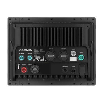
| NMEA 2000® ports | 1 |
|---|---|
| NMEA 0183 Input (Rx) Ports | 1 |
| NMEA 0183 output (Tx) ports | 1 |
| Video input ports | 1 (BNC composite); 1 HDMI (HDCP compliant) |
| Video output ports | 1 HDMI |
| J1939 ports | 1 |
| Garmin BlueNet network ports | 2 |
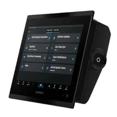
| USB ports | yes (1x USB-C) |
| Bluetooth® pairing | ✓ |
| ANT® (Connectivity) | ✓ |
| Garmin Wi-Fi network (local connection) | ✓ |
| Wi-Fi frequency bands | 2.4 GHz & 5 GHz |
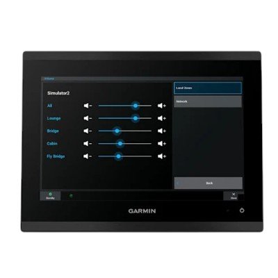
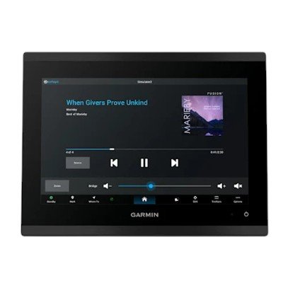
| Audio output | ✓ |


There are no reviews yet.