No products in the cart.
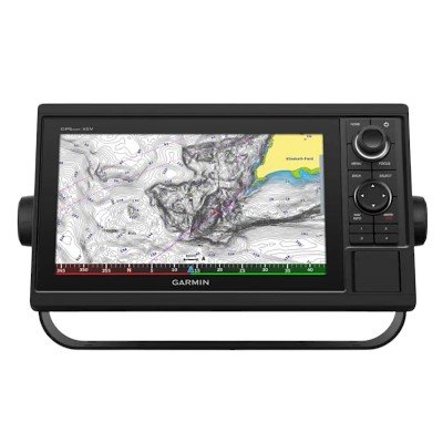

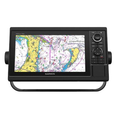

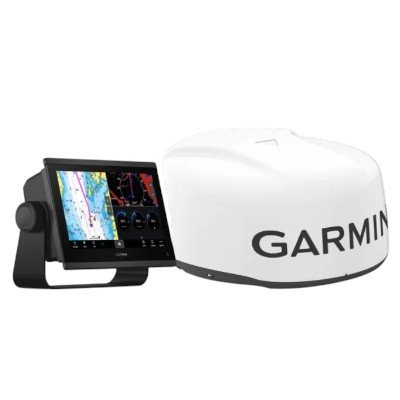
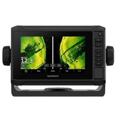
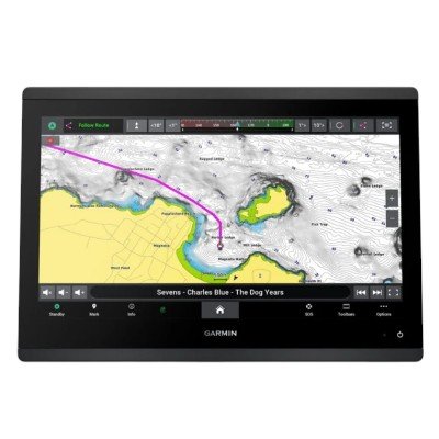
The Garmin GPSMAP® 1042xsv is a premium 10-inch keyed chartplotter and sonar combo designed for mariners who prioritize tactile control. Unlike its sister model (the 1022xsv), the 1042xsv comes preloaded with enhanced U.S. LakeVü HD and BlueChart® g2 (or g3) coastal maps, providing detailed inland and offshore cartography right out of the box.
Dimensions: $12.5″ \times 7.3″ \times 2.7″$ ($31.8 \times 18.5 \times 6.9$ cm)
Weight: 4.1 lbs (1.85 kg)
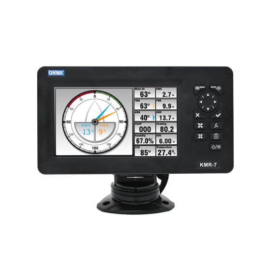
Display Type: WSVGA color display
Display Size: $8.8″ \times 4.9″$; $10.1″$ diagonal ($22.4 \times 12.5$ cm)
Resolution: $1024 \times 600$ pixels
Water Rating: IPX7 (Standard protection against water immersion)
Mounting Options: Bail or flush mount
Control Interface: Full keypad with a multi-function rotary control knob and user-programmable keys.
Power Input: 10 to 32 Vdc
Max Power Usage (at 10 Vdc): 32.4 W
Typical Current Draw (at 12 Vdc): 1.9 A
Maximum Current Draw (at 12 Vdc): 2.7 A
Compass-Safe Distance: 25.6″ (65 cm)
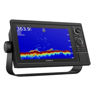
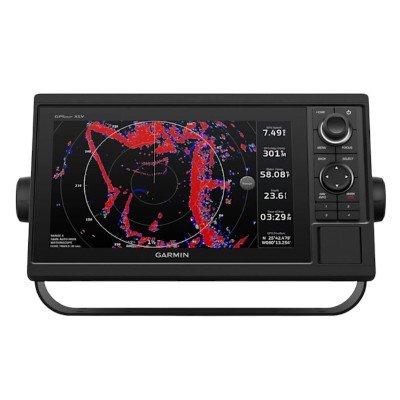
Transmit Power: 1 kW Traditional; 1 kW single-channel CHIRP
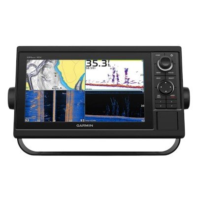
Integrated Sonar Support:
Traditional CHIRP: 50/77/83/200 kHz (Low, Medium, High)
ClearVü/SideVü: 260/455/800 kHz
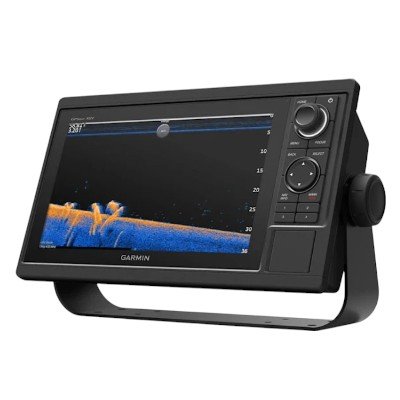
Live Sonar Support: Fully compatible with Panoptix™ and LiveScope™ systems.
Maximum Depth: 5,000 ft at 1 kW (Actual depth varies by water conditions and transducer).
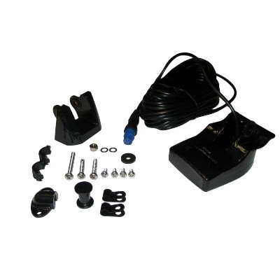
Transducer Connection: 1 x 12-pin port.
Garmin Marine Network™ Ports: 2
NMEA 2000® Port: 1
NMEA 0183 Ports: 1 Input (Rx), 1 Output (Tx)
Video Input: 1 BNC Composite Input
Wireless: Built-in Wi-Fi and ANT+ connectivity
Data Cards: 2 full-sized SD™ slots (located on the front face)
Preloaded Charts: U.S. LakeVü HD (Inland) and BlueChart® g2 (Coastal)
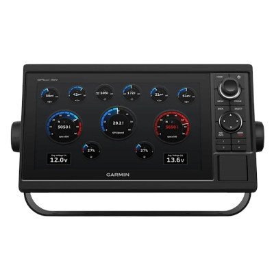
Positioning: Internal 10 Hz high-sensitivity GPS/GLONASS/Galileo receiver
Waypoints / Routes: 5,000 / 100
Track Log: 50,000 points; 50 saved tracks
Additional Features: AIS/DSC support, Tide tables, Quickdraw Contours, and Fusion-Link™ compatibility.


There are no reviews yet.