No products in the cart.

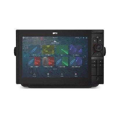
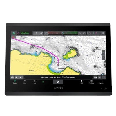
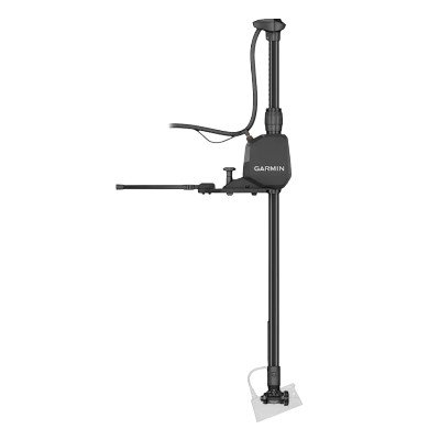
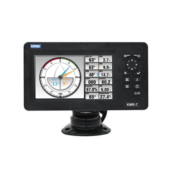
The Garmin ECHOMAP™ Ultra 2 106sv is a high-performance 10-inch chartplotter designed for anglers who want premium sonar capabilities and detailed mapping in a versatile “keyed-assist” touchscreen format. As the successor to the original Ultra series, it features improved position accuracy, enhanced wireless networking, and a new screen recording feature.
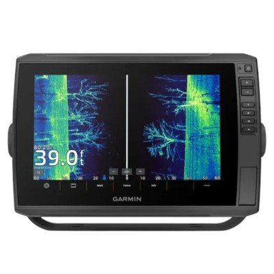
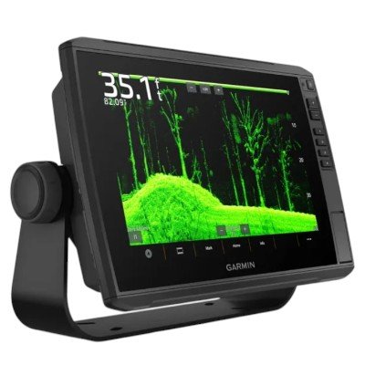
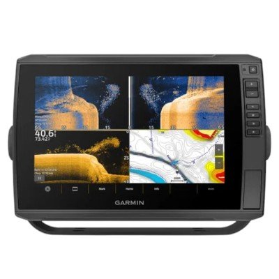
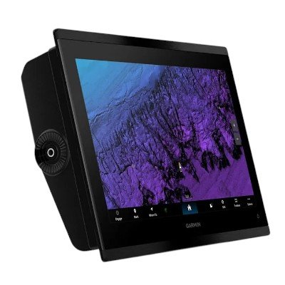
IPS Keyed-Assist Touchscreen: Features a 10-inch In-Plane Switching (IPS) display that offers a 1280 x 800 resolution. The IPS technology ensures the screen is sunlight-readable and visible from wide angles, while the physical buttons (keyed-assist) provide reliable control in rough or wet conditions.
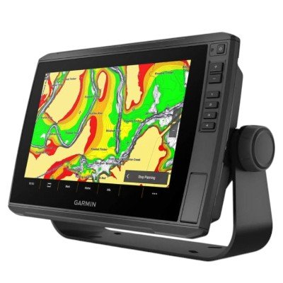
Preloaded Garmin Navionics+™: Includes built-in high-detail cartography for U.S. and Canadian coastal waters and more than 42,000 inland lakes. This includes a 1-year subscription for daily map updates and access to Auto Guidance+™ for suggested dock-to-dock routing.
Multi-Band GPS: Utilizing multi-band GNSS technology, the unit provides significantly improved position accuracy and heading updates (10 Hz), especially in challenging environments like deep canyons or areas with heavy tree cover.
Display & Physical Specifications
| Feature | Details |
| Display Size | 10″ diagonal (21.7 x 13.6 cm) |
| Display Type | WXGA, IPS (Sunlight-readable) |
| Resolution | 1280 x 800 pixels |
| Input Interface | Touchscreen with Keyed Assist (Physical buttons) |
| Unit Dimensions | 29.5 x 19.5 x 9.8 cm (11.6″ x 7.7″ x 3.9″) |
| Weight | 1.8 kg (4.0 lbs) |
| Water Rating | IPX7 |
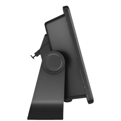
| Mounting | Quick-disconnect bail mount or flush mount |
| Feature | Details |
| Input Voltage | 9 to 18 Vdc |
| Typical Current Draw | 2.3 A (at 12 Vdc) |
| Max Current Draw | 5.0 A (at 12 Vdc) |
| Max Power Usage | 34 W (at 10 Vdc) |
| Fuse Requirement | 8 A |
| Compass-Safe Distance | 65 cm (25.6 in) |
Garmin Marine Network: 2 Ports (Large connectors) for sharing sonar, waypoints, and routes.
NMEA 2000®: 1 Port (supports autopilots, engine data, and Fusion-Link™).
NMEA 0183: 1 Input and 1 Output port.
Transducer Port: 1 12-pin orange connector (supports scanning and traditional sonar).
Wireless Tech: Built-in Wi-Fi® (Unit-to-unit sharing & ActiveCaptain®), Bluetooth®, and ANT®.
Data Storage: 2 microSD™ card slots (located on the front).
Positioning: Multi-band, multi-constellation 10 Hz GPS / GLONASS / Galileo / BeiDou.
Preloaded Mapping: Garmin Navionics+™ (U.S. Inland & Coastal) with Auto Guidance+™.
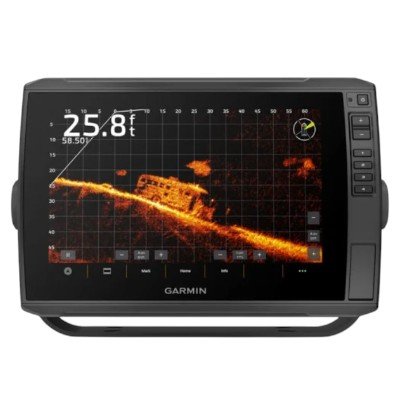
Sonar Capability: Built-in support for CHIRP Traditional, ClearVü, SideVü, and LiveScope™ (Requires compatible transducer).
Sonar Power Output: 600 W (RMS).
Storage Capacity: 5,000 Waypoints; 100 Routes; 50,000 Track points.
ECHOMAP Ultra 2 106sv with Garmin Navionics+
Power/data cable
Bail mount with quick-release cradle
Protective sun cover
8-pin transducer to 12-pin sounder adapter cable
Mounting hardware and documentation


There are no reviews yet.