No products in the cart.
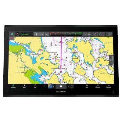
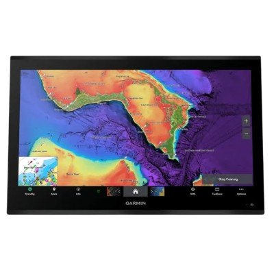
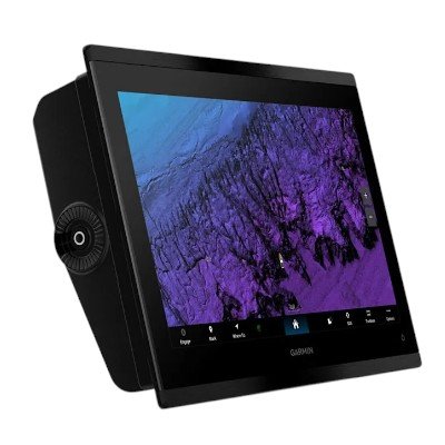
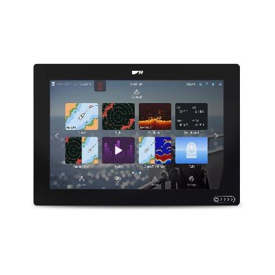
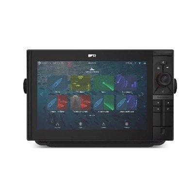
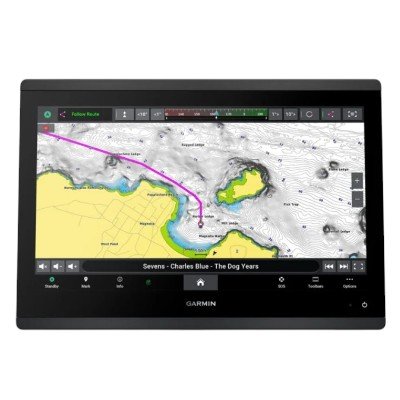
The GPSMAP® 9227 is the 27-inch pinnacle of Garmin’s 9000 series. It is the industry’s largest integrated 4K resolution touchscreen chartplotter, designed for elite glass bridge installations. This model is tailored for North American mariners, coming preloaded with high-detail Garmin Navionics+™ mapping.
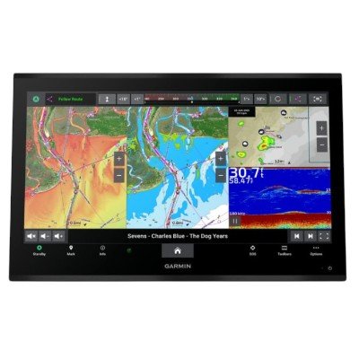
Industry-Leading 4K Display: A massive 27-inch IPS touchscreen (3840 x 2160) provides cinematic clarity, sunlight readability, and wide viewing angles.
Ultra-Fast Performance: Features 7x the processing power of previous generations, enabling nearly instant chart redrawing and rapid system response.
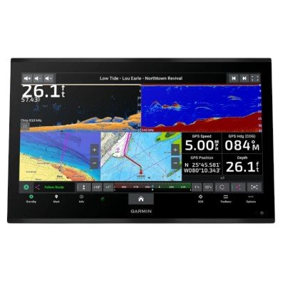
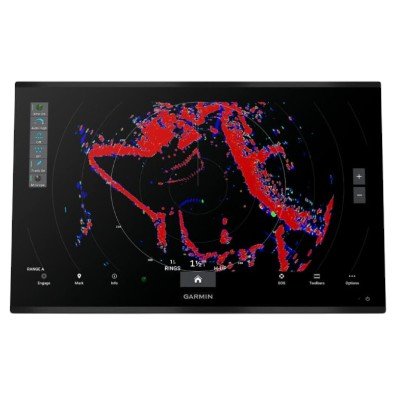
High-Speed BlueNet™ Networking: Utilizes gigabit speeds to share high-definition radar, sonar, and video across multiple displays with zero lag.
Detailed Charting: Preloaded with Garmin Navionics+™ coastal and inland maps, including Auto Guidance+™ technology and daily map updates.
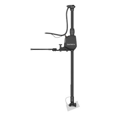
Precision Positioning: Includes the GPS 24xd external multi-band antenna to ensure accurate 10 Hz tracking in complex helm setups.
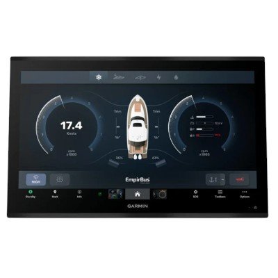
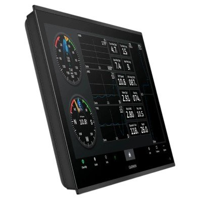
Full System Mastery: Supports OneHelm™ for controlling lighting and digital switching, plus HDCP-compliant HDMI ports for streaming 4K video across the vessel.
Dimensions: 65.5 x 42.3 x 8.5 cm (25.8″ x 16.7″ x 3.3″)
Display Size: 59.7 x 33.6 cm (23.5″ x 13.2″); 27.0″ diagonal
Resolution: 3840 x 2160 pixels (4K UHD)
Display Type: IPS Touchscreen (Anti-glare)
Weight: 12.54 kg (27.65 lbs)
Mounting: Flush or Flat mount
Water Rating: IPX7
Input Voltage: 10 to 35 Vdc
Max Power Usage (10 Vdc): 97 W
Typical Current Draw (12 Vdc): 7.2 A
Max Current Draw (12 Vdc): 8.1 A
Preloaded Maps: Garmin Navionics+™ (Inland and Coastal)
External GPS: Includes GPS 24xd (NMEA 2000® antenna/receiver)
Receiver: 10 Hz high-sensitivity multi-band (GPS/GLONASS/Galileo/BeiDou)
Waypoints/Routes: 5,000 waypoints; 100 routes
Track Log: 50,000 points; 50 saved tracks
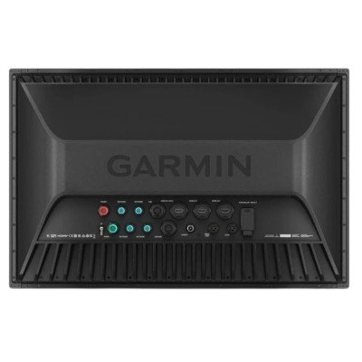
Garmin BlueNet™ Ports: 4 (Gigabit networking)
NMEA 2000® Ports: 1
NMEA 0183 Inputs: 4
NMEA 0183 Outputs: 2
Video Inputs: 2 HDMI (HDCP compliant); 1 BNC Composite
Video Outputs: 1 HDMI
USB Ports: 2 USB-C (Touch output/Power)
J1939 Port: 1 (Dedicated engine data port)
Wireless: Wi-Fi, Bluetooth, and ANT+
Processing: 7x faster redraw and processing speeds compared to previous flagship models.
OneHelm™: Total integration for controlling third-party digital switching, lighting, and stabilization.
Multimedia: Supports HDCP for sharing encrypted 4K video across multiple helm displays.
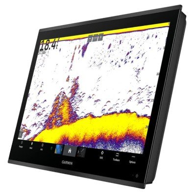
Sonar: Fully compatible with GSD™ and GCV™ external sonar modules for high-def imaging.


There are no reviews yet.