No products in the cart.
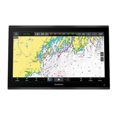
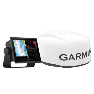
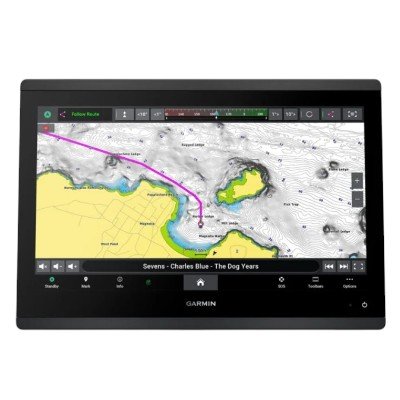
The GPSMAP® 9222 is the premium charting variant of Garmin’s flagship 9000 series. While it shares the same high-performance 4K hardware as the 9022, the 9222 is distinguished by its preloaded high-detail Garmin Navionics+™ cartography (typically for U.S. coastal and inland waters) and an included external GPS antenna for superior signal accuracy on large vessels.
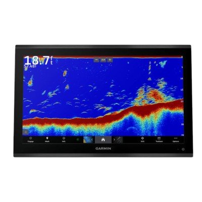
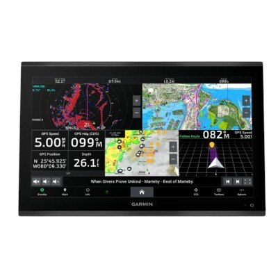
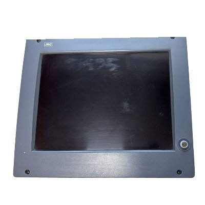
4K UHD IPS Display: A massive 22-inch touchscreen with 3840 x 2160 resolution. The IPS technology ensures the screen remains visible from wide angles and in direct sunlight, even with polarized sunglasses.
7x Faster Processing: Compared to previous flagship generations, the 9000 series offers significantly increased speed for chart redrawing and rapid calculation of Auto Guidance+™ routes.
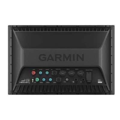
Garmin BlueNet™ Networking: This unit is optimized for the next-generation BlueNet gigabit network, providing 10x faster data transfer between chartplotters, radars, and high-def sonar modules.
Premium Connectivity: Features multiple HDMI ports (input/output) with HDCP distribution, allowing you to stream 4K video or encrypted media (like streaming services) across multiple helm displays.
Preloaded Garmin Navionics+™: Unlike the “Worldwide Basemap” in the 9022, this unit comes with detailed coastal and inland maps. It includes 1-year of daily map updates via the ActiveCaptain® app.
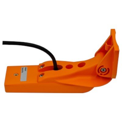
External GPS 24xd: The 9222 typically bundles an external GPS 24xd high-sensitivity receiver. This is critical for glass bridge installations where an internal GPS signal might be obstructed by the helm’s structure.
Vision+ Compatibility: Fully supports Garmin Navionics Vision+™ for advanced features like high-resolution relief shading, satellite imagery, and aerial photography.
Dimensions: 52.9 x 34.6 x 6.9 cm (20.8″ x 13.6″ x 2.7″)
Display Size: 47.5 x 26.7 cm (18.7″ x 10.5″); 21.5″ diagonal
Resolution: 3840 x 2160 pixels (4K UHD)
Display Type: IPS Touchscreen (Anti-glare)
Weight: 7.96 kg (17.55 lbs)
Mounting: Flush or Flat mount
Water Rating: IPX7
Input Voltage: 10 to 35 Vdc
Max Power Usage (10 Vdc): 68 W
Typical Current Draw (12 Vdc): 5.2 A
Max Current Draw (12 Vdc): 5.7 A
Preloaded Maps: Garmin Navionics+™ (Coastal/Inland)
External GPS: Includes GPS 24xd (NMEA 2000® antenna)
Receiver: 10 Hz high-sensitivity (GPS/GLONASS/Galileo/BeiDou)
Waypoints/Routes: 5,000 waypoints; 100 routes
Track Log: 50,000 points; 50 saved tracks
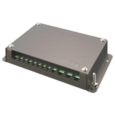
Garmin BlueNet™ Ports: 4
NMEA 2000® Ports: 1
NMEA 0183 Inputs: 4
NMEA 0183 Outputs: 2
Video Inputs: 2 HDMI (HDCP compliant); 1 BNC Composite
Video Outputs: 1 HDMI
USB Ports: 2 USB-C (Touch output/Power)
J1939 Port: 1 (Engine data)
Wireless: Wi-Fi, Bluetooth, and ANT+
Sonar: Compatible with GSD™/GCV™ black boxes
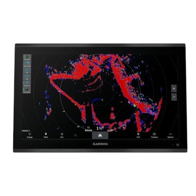
Radar: Fully compatible
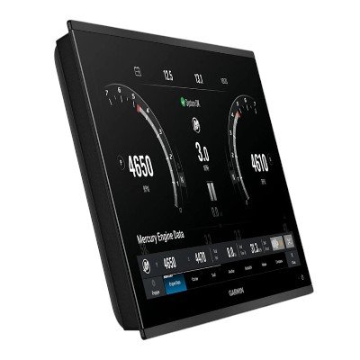
OneHelm™: Supports digital switching and lighting integration
ActiveCaptain®: Compatible for updates and data syncing


There are no reviews yet.