No products in the cart.
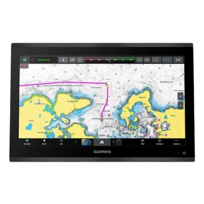
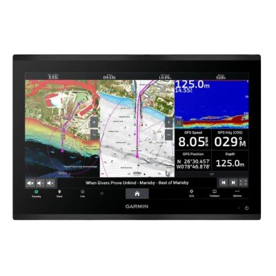
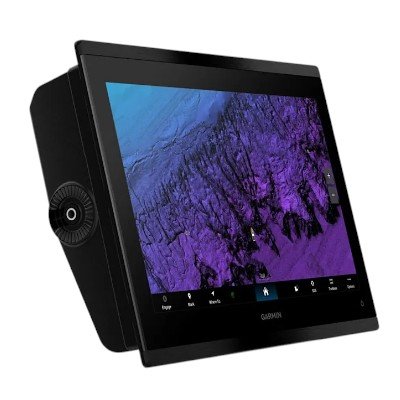
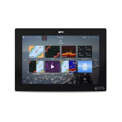
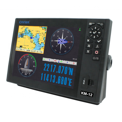
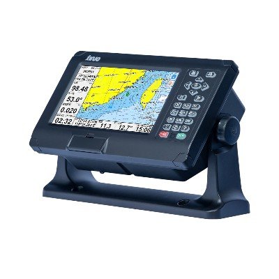
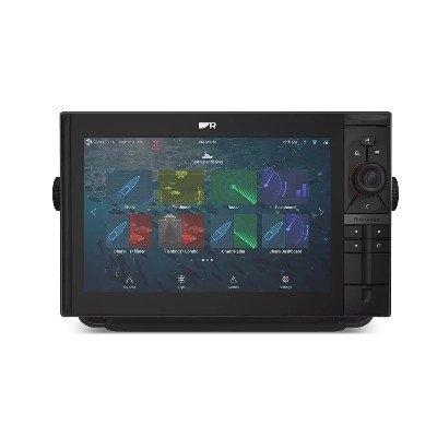
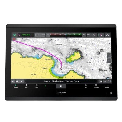
Garmin GPSMAP® 9019 is the flagship 19-inch 4K touchscreen MFD, serving as the premier “glass helm” solution for high-end offshore vessels and professional bridge integrations. It combines massive screen real estate with industry-leading processing speed and a Worldwide Basemap.
19-inch 4K IPS Display: Features a stunning 3840 x 2160 resolution with Mini-LED local dimming. This provides deep blacks, high contrast, and excellent visibility in direct sunlight, even with polarized sunglasses.
Worldwide Basemap: Comes with a standard global basemap, making it an ideal choice for vessels operating internationally that prefer to add specific Garmin Navionics+™ or Vision+™ regional charts as needed.
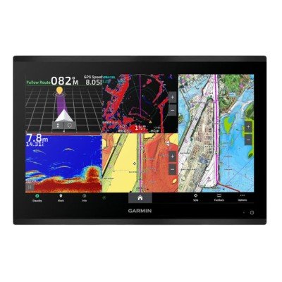
Ultra-Fast Performance: Powered by a processor that is 7x faster than previous generations, allowing for near-instant 4K chart rendering and seamless multitasking across multiple data windows.
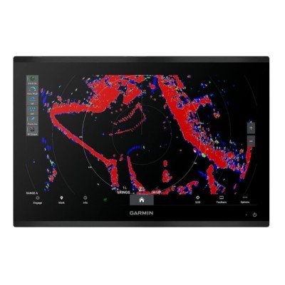
Garmin BlueNet™ Networking: Optimized for the next generation of gigabit-speed peripherals, ensuring that 4K video feeds, high-definition radar, and sonar data are shared across the bridge with zero latency.
Display Size: 19.1″ Diagonal (16.7″ x 9.4″).
Mounting: Designed specifically for Flat or Flush mounting to create a seamless, professional “Glass Helm” look.
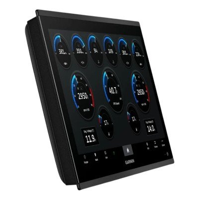
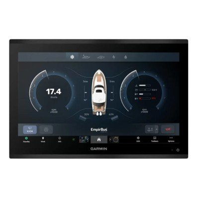
Smart Integration: Full compatibility with the Garmin ecosystem, including J1939 engine monitoring, EmpirBus™ digital switching, and high-performance GMR™ radars.
Connectivity: Features HDMI In/Out, USB-C, and high-speed Wi-Fi (2.4 & 5 GHz).
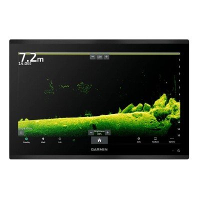
Note: The GPSMAP 9019 is a dedicated MFD/Chartplotter. For a version with a built-in 1 kW dual-channel CHIRP sonar and UHD scanning sonar, the 9019xsv is the corresponding model.
| Feature | Details |
| Display Type | 4K IPS with Mini-LED local dimming backlight |
| Resolution | 3840 x 2160 pixels (4K UHD) |
| Display Size | 19.1″ Diagonal (16.1″ x 9.1″) |
| Dimensions | 18.0″ x 12.0″ x 2.7″ (45.7 x 30.5 x 6.9 cm) |
| Weight | 14.16 lbs (6.42 kg) |
| Water Rating | IPX7 |
| Mounting | Flush or Flat (no bail mount option) |
Performance: Processor is 7x faster than previous generations for near-instant 4K chart rendering.
GNSS Receiver: Includes the GPS 24xd (NMEA 2000 external antenna) with 10 Hz high-sensitivity multi-band support.
Storage: 2 internal microSD™ slots (supports up to 32 GB cards for map data).
Capacity: 5,000 waypoints; 100 routes; 50,000 track points.
Charts: Preloaded with a Worldwide Basemap. Supports optional Garmin Navionics+™ and Vision+™ charts for detailed local data and relief shading.
Power Input: 10 to 35 Vdc.
Typical Current Draw (12V): 4.6 A.
Max Current Draw (12V): 5.0 A.
Max Power Usage (10V): 60 W.
Fuse: 15 A.
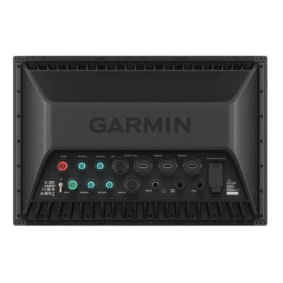
Networking: * 4 x Garmin BlueNet™ ports (Gigabit speeds).
1 x NMEA 2000® port.
1 x J1939 port (Engine integration).
NMEA 0183: 4 Input ports; 2 Output ports.
Video I/O: * 2 x HDMI In (HDCP compliant; one up to 4K@60fps, one up to 4K@30fps).
1 x HDMI Out.
1 x BNC Composite Video In.
USB: 2 x USB-C ports (one for Garmin card reader, one Dual-Role-Data).
Wireless: Wi-Fi (2.4 & 5 GHz), Bluetooth®, and ANT+® connectivity.


There are no reviews yet.