No products in the cart.
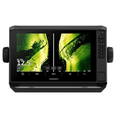
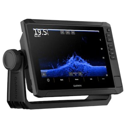
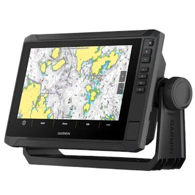
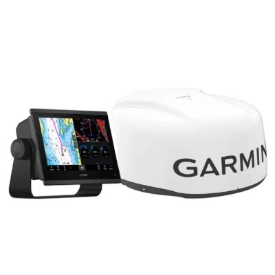
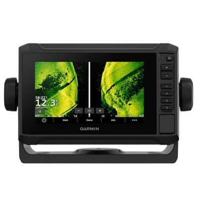
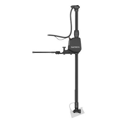
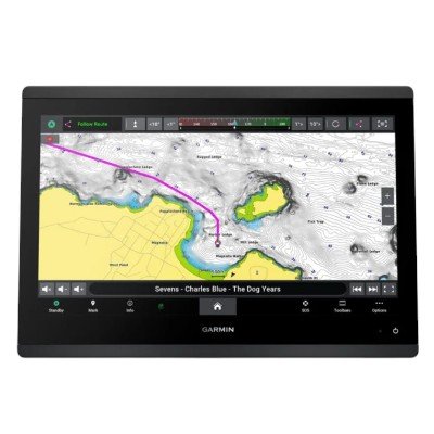
The Garmin ECHOMAP™ UHD2 9″ sv (94sv) is the high-performance 9-inch model in Garmin’s updated UHD2 series. Compared to the 7-inch version, this unit provides a significant jump in both screen resolution and sonar power, making it ideal for coastal and larger inland waters.
This specific bundle features the GT56UHD-TM transducer and preloaded Garmin Navionics+ cartography.
| Category | Specification |
| Display Resolution | 1024 x 600 pixels (WSVGA) |
| Display Type | Touchscreen with Keyed Assist |
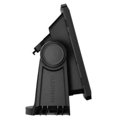
| Dimensions (Device) | 10.4″ x 6.5″ x 3.2″ (26.4 x 16.6 x 8.0 cm) |
| Weight | 2.9 lbs (1.3 kg) |
| GPS | Multi-band (GPS, GLONASS, Galileo, BeiDou) |
| Receiver | 10 Hz high-sensitivity |
| Water Rating | IPX7 |
| Input Voltage | 9 to 18 Vdc |
| Typical Current Draw | 1.72 A at 12 Vdc |
| Max Power Usage | 20.7 W |
| Memory Cards | 1 microSD™ slot (up to 1 TB max card size) |
| NMEA Networking | NMEA 2000® (1 port) |
| Sonar Type | Frequency Detail | Transmit Power | Max Depth/Range |
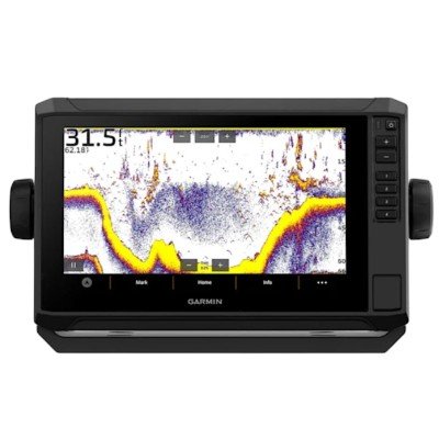
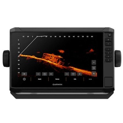
| Traditional CHIRP | High Wide (150–240 kHz) | 350 W | 800 ft (Freshwater) |
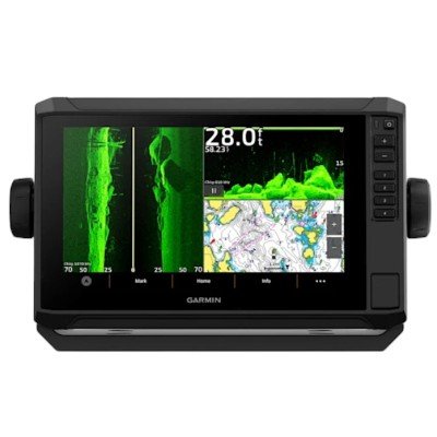
| UHD ClearVü | 455 / 800 / 1000 kHz | 500 W | 400 ft (at 455 kHz) |
| UHD SideVü | 455 / 800 / 1000 kHz | 500 W | 500 ft (Per side) |
Beamwidth:
CHIRP: 24°–16°
ClearVü: 1.1° x 52° @ 455 kHz / 0.64° x 35° @ 800 kHz
SideVü: 1.1° x 52° @ 455 kHz / 0.52° x 52° @ 1000 kHz
Cable Length: 25 ft (7.6 m)
Wireless Sharing: Built-in Wi-Fi allows wireless sharing of sonar, waypoints, and routes with other compatible ECHOMAP UHD2 or ECHOMAP Ultra units.
LiveScope™ Support: Plug-and-play compatible with Panoptix™ LiveScope (LVS32/LVS34) sonar systems.
ActiveCaptain® App: Connects to smartphones for OneChart™ access, software updates, and smart notifications.
Trolling Motor Link: Wirelessly integrates with Garmin Force® Trolling Motors to follow routes or anchor at waypoints.
Engine Data: Supports standard NMEA 2000 engine monitoring and digital switching.
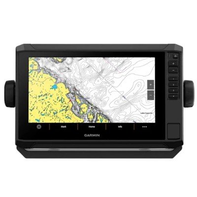
Preloaded Charts: Garmin Navionics+ (U.S. Coastal and Great Lakes).
Waypoints: 5,000.
Tracks: 50,000 points; 50 saved tracks.
Routes: 100.


There are no reviews yet.