No products in the cart.

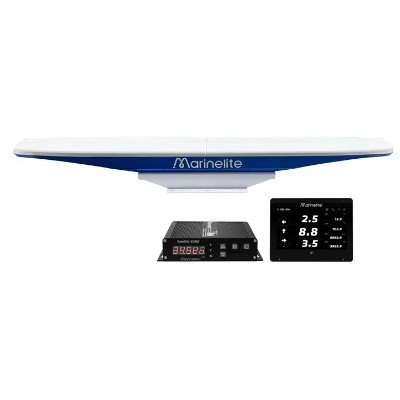
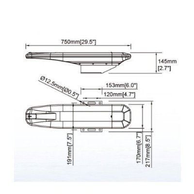
The Marinelite GSL1200 Satellite SDME (Speed and Distance Measuring Equipment) is a high-precision satellite-based marine navigation system designed to provide accurate Speed Over Ground (SOG), Course Over Ground (COG), heading, and distance information for commercial and offshore vessels. Utilizing advanced dual-GNSS technology with GPS, BeiDou, and carrier-phase positioning, the GSL1200 delivers highly reliable navigation data without requiring hull-mounted transducers or moving mechanical parts. This makes installation simple while significantly reducing maintenance requirements.
The system features advanced speed and course filtering algorithms, built-in gyro compensation, and rapid satellite signal acquisition to ensure stable and accurate measurements, even during sharp turns or challenging weather conditions. It also calculates bow and stern transverse movement, providing valuable information for docking, berthing, maneuvering, and dynamic positioning operations. The equipment is unaffected by water depth, salinity, temperature, or seabed conditions, ensuring dependable performance in coastal and deep-sea navigation.
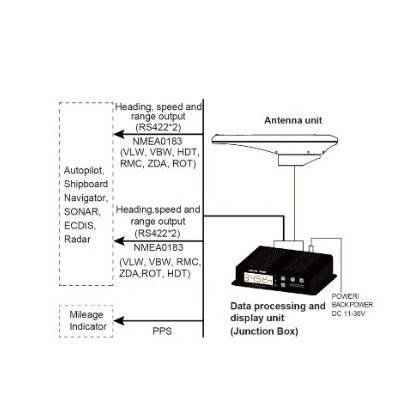
The GSL1200 complies with IEC 61023 requirements for Speed and Distance Measuring Equipment (SDME) and is suitable for merchant ships, tankers, container vessels, offshore support vessels, ferries, research vessels, and fishing boats. It provides standard NMEA 0183 and AD-10 outputs for seamless integration with ECDIS, Radar, ARPA, AIS, Autopilot, VDR, Sonar, GPS, and Integrated Bridge Systems (IBS). With its high accuracy, maintenance-free design, and robust marine construction, the Marinelite GSL1200 is an ideal solution for modern ship navigation and safe vessel operation.
| Parameter | Specification |
|---|---|
| Model | Marinelite GSL1200 |
| Equipment Type | Satellite Speed and Distance Measuring Equipment (SDME) |
| Operating Principle | Dual GNSS Carrier-Phase Satellite Positioning |
| Satellite Systems | GPS, BeiDou (Standard); Optional GLONASS/Galileo |
| Measured Parameters | Speed Over Ground (SOG), Course Over Ground (COG), Heading, Distance, Bow & Stern Transverse Speed |
| Speed Range | -99.9 to +99.9 knots |
| Speed Accuracy | Better than ±0.2 knots or ±2% of reading (whichever is greater) |
| Distance Range | 0.0 to 9,999.9 nautical miles |
| Distance Accuracy | Error not exceeding ±2% or ±0.2 nm per hour of travel (whichever is greater) |
| Heading Range | 0.0° to 359.9° |
| Heading Accuracy | 0.2° RMS |
| Roll/Pitch Accuracy | 0.3° RMS |
| Following Rate | Up to 90°/s |
| Settling Time | Approximately 120 seconds |
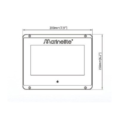
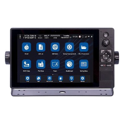
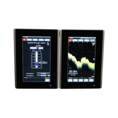
| Display | Optional 7-inch Color Touchscreen LCD |
| Display Functions | SOG, COG, Heading, Distance, Position, Bow/Stern Transverse Speed, Alarms, System Status |
| Communication Interfaces | IEC 61162-1 / IEC 61162-2 (NMEA 0183), AD-10, CAN Bus |
| NMEA Output Sentences | VBW, VHW, VLW, HDT, ZDA, RMC, ROT, GGA, GLL, GNS, GSA, GST, GSV, VTG, HDG, THS |
| LOG PPS Output | 2 Ports |
| Power Supply | 11–36 VDC (24 VDC Nominal) |
| Compass Safe Distance | 55 cm |
| Operating Temperature | -15°C to +55°C |
| Storage Temperature | -20°C to +70°C |
| Relative Humidity | Up to 95% (Non-condensing) |
| Environmental Standard | IEC 60945 |
| SDME Standard | IEC 61023 |
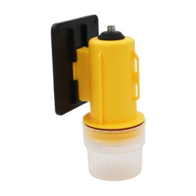
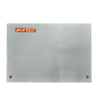
| Installation | Dual GNSS Antennas, Junction Box, Display Unit |
| System Integration | Compatible with ECDIS, Radar, ARPA, AIS, GPS, Autopilot, VDR, Chart Plotter, Sonar and IBS |
| Maintenance | Maintenance-free; no hull transducer or moving mechanical parts |




There are no reviews yet.