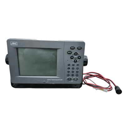
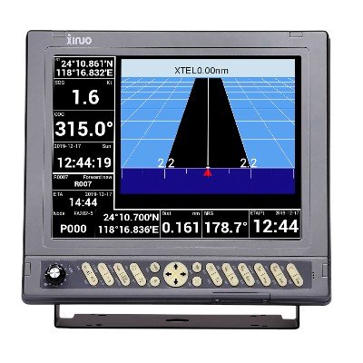
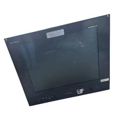
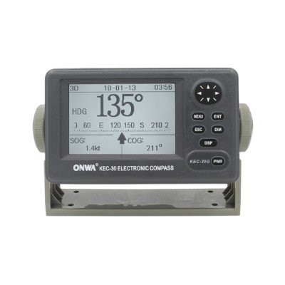
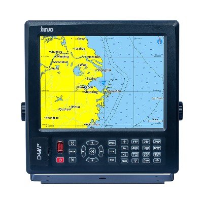
The JRC NWZ-4740 is a 5.7-inch LCD display unit for JRC GPS/DGPS Navigators (like JLR-7500/7800 series). It functions as the user interface, showing essential navigation data (position, speed, course), CDI, and highway modes.
Key Features and Description:
- Dedicated Navigation Display: The NWZ-4740 is solely a display unit. It receives position data and other navigation information from a separate GPS/DGPS sensor (like the JLR-4340 or JLR-4341) and presents it to the user.
- High-Visibility LCD Display: It features a highly visible 5.7-inch LCD display, often described as having enhanced sharpness and contrast compared to earlier versions. This monochrome or FSTN (Film-compensated Super-Twisted Nematic) LCD is designed for readability in various lighting conditions.
- Multiple Display Modes: The unit offers a range of selectable display modes to suit different navigational needs, including:
- Navigation Mode: Displays core position information (latitude/longitude), speed (SOG), course (COG), etc.
- CDI (Course Deviation Indicator): Shows deviation from a planned route and the direction to steer.
- Highway Mode: Provides a visual representation of the track ahead, aiding in following a route.
- 3D Highway Mode: A more intuitive 3D view of the next waypoint, assisting in real-time route following.
- Track Plotting: Displays the vessel’s past track.
- Service and Information Screens: Provides access to system status, GPS satellite information, etc.
- Dimmer Functions: Includes multiple dimming modes (e.g., 4 stages: bright, middle, dark, off) to allow for comfortable viewing in both bright daylight and low-light night conditions.
Technical Specification
Display Unit (NWZ-4740):
- Display Type: 5.7-inch FSTN (Film-compensated Super-Twisted Nematic) monochrome LCD (some sources might refer to it as “Silver Bright” or similar, indicating high contrast).
- Resolution: Typically 320 x 240 pixels (QVGA).
- Backlighting: Adjustable backlighting with multiple dimming levels (e.g., 4 stages) for day and night operation.
- Display Modes: Navigation Data, CDI, Highway, 3D Highway, Track Plotting, Satellite Information, Service/Setup.
Electrical:
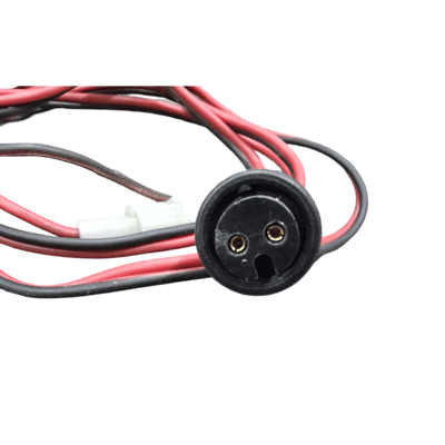
- Power Supply: 12 to 31.2 VDC (Volts Direct Current)
- Power Consumption: Typically low, around 5W (Watt) nominal.
Performance (as part of a system with JLR-7500/7800 GPS Navigator):
- Position Accuracy: DGPS: < 1 meter (DOP ≤ 4), GPS: < 10 meters (DOP ≤ 4).
- Waypoints: Up to 10,000
- Routes: Up to 100 routes, with up to 512 waypoints per route.
- Track Points: Up to 30,000 points.
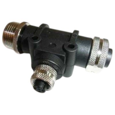
Connectivity:
- Input/Output Ports: Multiple NMEA 0183 (IEC61162-1/2) ports.
- Input Sentences (common examples): GGA, GLL, RMC, VTG, ZDA, DBT, DPT, HDT, HDG, HDM, DTM, GNS, VDR, VHW, WPL, RTE, etc.
- Output Sentences (common examples): GGA, GLL, RMC, VTG, ZDA, WPL, RTE.
- LAN Interface: Yes (for route data transfer, interswitching, and connection to other compatible JRC devices).
Physical & Environmental:
- Dimensions (WxHxD): Approx. 200 mm (W) x 160 mm (H) x 80 mm (D) (7.87″ x 6.3″ x 3.15″) – Note: Specific dimensions can vary slightly depending on mounting bracket or bezel.
- Weight: Approx. 1.2 kg (2.65 lbs) without cables.
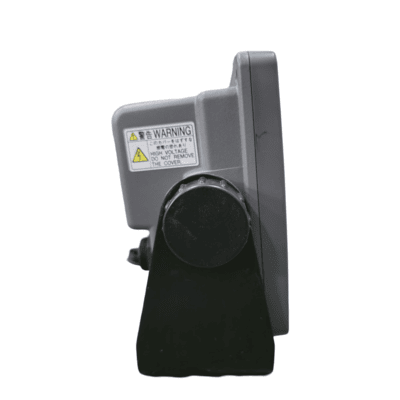
- Mounting: Flush mount (standard) or bracket mount.
- Construction: Robust casing suitable for marine environments.
- Ingress Protection (IP) Rating: Front panel typically IPX5 (splash-proof from all directions), rear IPX0 or similar (requires protection in a console).
- Operating Temperature: -15°C to +55°C (5°F to 131°F).
- Storage Temperature: -25°C to +70°C (-13°F to 158°F).
Certifications:
- IMO Compliance: Complies with IMO Resolution MSC.112(73) (Performance Standards for GPS receiver equipment) and MSC.114(73) (Performance Standards for DGPS receiver equipment).
- IEC Standards: IEC 61162-1/2, IEC 60945.


There are no reviews yet.